Map and Cadastre Application Services

  • 2D Orthophoto Map
  • 3D Point Cloud Map
  • Area Volume Calculations
  • Various Output Options
  • CAD / GIS Software Compatibility
  • High Sensitivity
  • High Definition
  • Automatic Map Creation

With our professional team, we offer you perfect solutions to taking aerial photographs of the land using our unmanned aerial vehicles, processing the photographs, and converting them into maps. Thanks to these solutions, we can offer you maps with 1cm resolution with a deep sensitivity up to 2cm.

The map and cadastral services offered to you here takes place in the following usual business plan. It includes carefully preparing the flight plan in line with your wishes, carrying out the flight with professional flight crews, compiling the high-resolution digitally signed photographs by the ground crew with a map software program and interpreting all data outputs with GIS and CAD software.

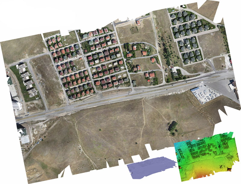
Thanks to the cameras in our systems, we can generate orthophoto maps in cm resolution and precision, digital surface maps that provide elevation and height information, 3D point cloud models graphic software and transfer all these maps to other GIS software in GeoTIFF format.

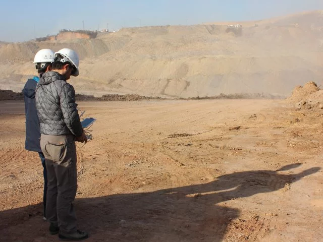
First, the flight plan of the land whose model you want to be created as a 2D map and 3D point cloud is prepared. Flights are carried out in the related land. During flights, the shooting of ground control points takes place very quickly.

Thanks to the map software used by our ground crew, all photos taken with our unmanned aerial vehicle are transferred to the map software program. The map software is now available as 2D and 3D maps after the transfer is complete.

You can easily use the 2D and 3D maps and models which we generate with GIS / CAD software.